
Imagery Wayback for ArcGIS

img

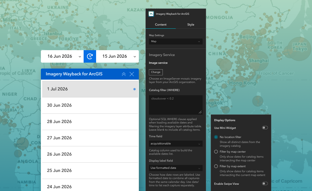
Imagery Wayback for ArcGIS is an Experience Builder widget that lets you browse time-series imagery from your own ArcGIS Imagery Services. It works like Imagery Wayback widget but allows you to configure a custom mosaic imagery service instead of relying on fixed Living Atlas imagery.

What it helps you do

Let you explore imagery captured at different points in time. You can select available imagery dates, view historical coverage, and compare change across locations using an optional swipe experience.

Key features

  • Connect the widget to a custom ArcGIS Imagery Service with time-series imagery
  • Add the configured imagery service to the map from the widget
  • View available imagery dates based on the current map extent or center
  • Compare two imagery dates using an optional swipe control

Example use case

  • Browse historical drone imagery by acquisition date.
  • Compare surveys captured at different times to identify site changes.
  • Track project progress using a timeline of imagery records.
  • Monitor asset conditions across construction, utility, and transport projects.
  • Visualise changes easily with an interactive map and swipe comparison tool.
  • Detect issues and developments quickly without manually searching large imagery archives.

Using ArcGIS Online?

If you don’t have access to ArcGIS® Experience Builder Developer Edition, try our Managed Experience Builder for ArcGIS environment. It’s the fastest way to start using custom widgets like this one – no local setup or deployment required.


USD $149.00 / year
Tax not included.
Released On:
2 July 2026
Version:
1.0
Compatibility:
ArcGIS Enterprise 11.3-11.5, ArcGIS Experience Builder version 1.14-1.17